Dùn Èisdean

Port Of Ness, Isle Of Lewis, Outer Hebrides, HS2 0XA

Type:Monuments & Ruins

Add Dùn Èisdean to your Itinerary

Product Image

Book Tickets Online

About

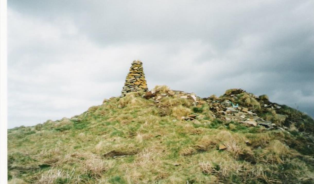
The settlement replaced earlier buildings which were dismantled to build it, and after the settlement had been abandoned the site was re-used centuries later when small temporary turf shelters were built into its ruins.

The Dùn Èistean Archaeology Project is a community project managed by GUARD, at Glasgow University. Professional archaeologists worked alongside local and student volunteers on the excavations, and environmental processing and other tasks were undertaken locally at the Comunn Eachdraidh Nis whilst the excavation was ongoing. Archaeological survey work undertaken in Ness as part of the project has identified a rich diversity of heritage sites in the area, dating from the earliest prehistoric periods to the 1950s AD.

To visit the site, follow the main road (A857) from Stornoway to Port of Ness. At Habost the road passes the Comunn Eachdraidh Nis where there are displays of local artefacts and archives of photographs and croft histories for Ness. From here, continue to follow the A857 towards Port of Ness. Dùn Èistean is signposted left at the turn-off to Fivepenny and Knockaird (B8013), then right near the top of the hill where a track will lead you to the site. Access is possible by car but the track is very rough. Please leave all gates as you find them and bear in mind that Dùn Èistean is surrounded by high cliffs and children must be supervised at all times on the site.

Map & Directions

TripAdvisor

What's Nearby

  1. Loch Stiapabhat bird reserve and hide to watch golden plover, Lapwing, whooper swans,…

    0.74 miles away

  2. Photograph © David Wilson

    The boathouse at the harbour in Port of Ness is the scene…

    0.76 miles away
  3. Port Nis (Port of Ness) is in the parish of Ness, the most northerly parish in Lewis.

    0.78 miles away
  1. Small, working studio gallery above the beach and harbour at Port of Ness on the Isle of…

    0.81 miles away
  2. The largest shark seen in the waters around the Outer Hebrides.

    0.9 miles away
  3. Located at the North of the Archipelago, this rich Machair loch and surrounding wetland…

    0.94 miles away
  4. A small cove accessed on the road to the Butt of Lewis lighthouse.

    0.93 miles away
  5. St Moluag’s Church is a 12th century Temple, said to have been built by the son of a…

    1 miles away
  6. The ancient church of St Moluag sits in a crofter's field.

    1.02 miles away
  7. Tall, slim stems with pale blue flowers

    1.23 miles away
  8. A small group of well-used and maintained shielings with a track along a ravine to a…

    1.31 miles away
  9. A low growing plant with small white 2 lobed flowers. Found on improved agricultural land…

    1.32 miles away
  10. Built in 1862 by David and Thomas Stevenson. Made from red brick, which was unusual for…

    1.32 miles away
  11. Large aquatic mammal. Strong Profile

    1.32 miles away
  12. Rubha Robhais (Butt of Lewis) is the most northerly tip of the Isle of Lewis.

    1.33 miles away
  13. Traigh Shanndaigh (Eoropie beach) is a beautiful sandy beach in the north of Lewis, near…

    1.46 miles away
Previous Next

My Planner

You can build your own holiday itinerary here! Just browse our site and click this button to add to your itinerary when you see something you like. If your planner is not finished, simply click save and you can come back to it later on! You also have the option to send your itinerary to our tailor made holiday partner.

Places to Eat

Our Islands